Block Island, RI to the Canadian Border Region 2, 18th Edition Richardson's Maptech Chartkit 12/12/2024 THIS CHART IS IN STOCK 12/12/2024
SKU:
6871
Block Island, RI to the Canadian Border Region 2, 18th Edition Richardson's Maptech Chartkit
Block Island, R.I. to the Canadian Border
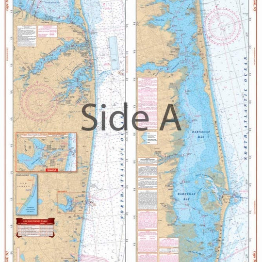
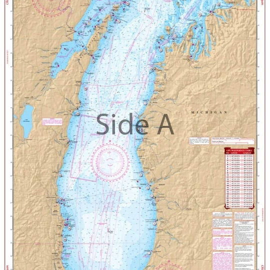
Maptech's ChartKits are full-color reproductions of NOAA charts bundled together in large cruising regions. Chartbook Companion Software included free with continental ChartKit books.
- 88 Chart Pages
- More than 500 GPS Lat/Lon Waypoints
- Lat/Lon Minute Grids for easy reference
- Save hundreds of dollars on charts
- Free Digital Companion Charts & Software
A Great Value You’ll save up to 90% compared to the cost of purchasing individual government charts. The Perfect Size Large enough to plot routes; small enough to fit on your lap.
Easy to Use Pre-plotted waypoints and lat/long grids for your GPS; magnetic courses for your compass. Fully Referenced Geographic and alphabetical indexes quickly point you to the right page.
"THIS CHART IS IN STOCK as of 12/12/2024"


